


Fire Chief Welcome
Welcome to the Sheldon Community Fire & Rescue website. We hope to reach out to the community and provide safety tips, fire prevention techniques, and useful resources.
The department has been in service since 1955, and began with the merger of 2 departments.
The men and women that make up the department are your neighbors, friends, and relatives, and are actively involved in the community. We are striving to make this a better place to work, live and raise your family.

Facilities
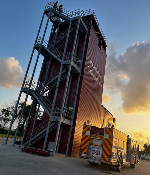
Sheldon Community Fire and Rescue has a long-standing commitment and history of providing a rapid response time from one of our 4 stations.
Personnel
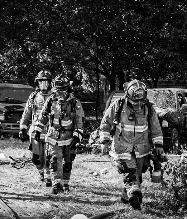
We are staffed by personnel that consider the community and residents their home and family.
Latest News
We strive to keep the public up-to-date on what’s going on in our community. See below for the latest news from Sheldon Community Fire & Rescue.

STATION NO. 5 ~ First crew
Capt. H. Venegas
Capt. J. Marquez
Capt. J.T. Williams
FF R. Martinez
(Not pictured E/O S. Chachere, Deputy Chief D. Grabill)

Generation Park
New Station No. 5 (53) in Sheldon, Texas scheduled to be operational Sunday @ 6:00AM. Engine 53 is ready to role showcasing our new Station No. 5’s patch! Several firefighters have put a lot of time & effort to get specialized station patches designed for each station and make them come to life!
The Bulldog: Represents classic tenacity, loyalty, and relentless grit. The breed has long been an informal emblem of resilience—cemented by Bulldog Tools historical ties to the British military, where solid-forged spades were issued in World War I trenches and continue to be specified by armed forces today.


2 CommentsComment on Facebook
A tropical depression has formed in the Gulf. The depression could form into the 9th tropical storm for the 2026 Atlantic Hurricane Season later this week. If it does, it will be given the name Isaias.
* Impacts to Yucatan Peninsula over the next few days
* Rainfall expected to impact Gulf Coast over the weekend
* Rough surf expected
Showers and storms have become more organized over the past day as the newest tropical depression in the Gulf has formed.
Current weather models do not show likelihood of heading to the Houston/ Galveston coast. Monitoring of news and/or weather apps is recommended.
*******************************
Se ha formado una depresión tropical en el Golfo. La depresión podría formarse en la novena tormenta tropical para la temporada de huracanes en el Atlántico de 2026 a finales de esta semana. Si lo hace, se le dará el nombre de Isaias.
* Impactos en la península de Yucatán en los próximos días
* Se espera que las lluvias afecten a la costa del Golfo durante el fin de semana
* Se espera un oleaje brusco
Las lluvias y las tormentas se han vuelto más organizadas en el último día a medida que se ha formado la nueva depresión tropical en el Golfo.
Los modelos meteorológicos actuales no muestran la probabilidad de dirigirse a la costa de Houston/Galveston. Se recomienda el monitoreo de noticias y/o aplicaciones meteorológicas.

0 CommentsComment on Facebook


Join Us on nextdoor!
Click the link below to join us on nextdoor! https://nextdoor.com/agency-detail/tx/harris-county/harris-county-emergency-services-district-no-60/
2 CommentsComment on Facebook